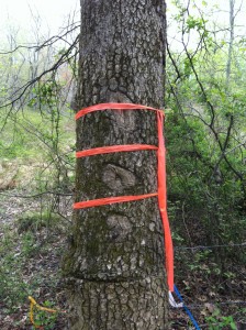
 A boundary survey is the result of an accumulation of evidence researched from known recorded and non-recorded documents, witness evidence, field survey measurements and deed computation analysis of the property. The information obtained for the survey could be used in placing the property corners, determining land area, locating improvements, determining encroachments, planning for future projects, preparing a survey plat and deed description and making legal presentations.
When is a Survey needed?
- When timber is cut near a property line.
- When recommended by a lending institution.
- When dividing a large tract of land into a smaller tract or tracts.
- The professional services provided by the land surveyor will cost less in time, worry and expense than the cost of losing land to an adjoiner, moving a building, relocating improvements or defending a lawsuit in court because of a land boundary dispute.
The land surveyor renders a highly technical and complex service. No other than the surveyor can assume responsibility for the correctness and accuracy of the work.
Do’s and Dont’s for Landowners:
- Do contact a surveyor well before the survey is needed.
- Do make sure the land surveyor is licensed and in good standing with the governing authorities.
- Do Consult other authorities as to a land surveyors qualifications and their character.
- Don’t select a surveyor on cost alone.
- Do expect quality work which meets the minimum standards of practice. Accept nothing else.
- Do furnish information requested and explain to the surveyor the specific scope of work desired.
- Do ask the surveyor to explain and review his work.
- Don’t relocate or move boundary monuments!
- Do record the survey plat and or description even if a property transfer is not made.